
Online message
010-83622127
info@n-tetbj.cn
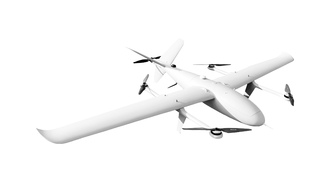
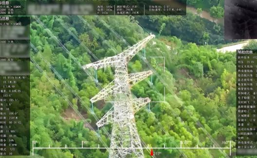
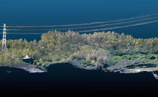
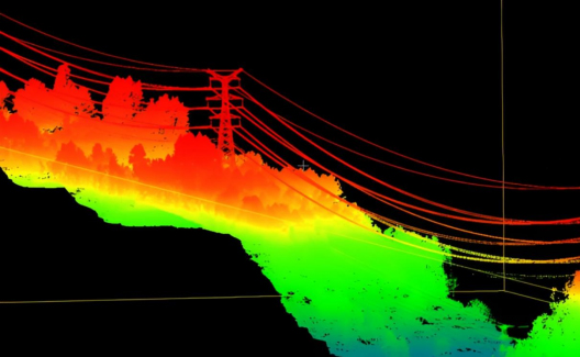
The power line inspection drone is a professional inspection system specifically designed for the intelligent operation and maintenance of power transmission and distribution lines and power facilities. The system mainly consists of three parts: a high-reliability drone flight platform, an airborne inspection payload, and a ground control terminal. It can efficiently complete large-scale line surveys, tower inspections, and channel surveys in complex terrains such as mountainous and forested areas, enabling comprehensive three-dimensional inspection and data collection tasks in challenging scenarios.
| Drone parameters | |
|---|---|
| Aircraft materials | Advanced aerospace composite materials |
| take-off and landing methods | Vertical takeoff and landing |
| Powertrain | pure electric |
| Maximum battery life | 240min (no load) |
| cruising speed | 65-120km/h |
| Effective operating radius | 50km |
| Maximum takeoff altitude | 5000m |
| Payload | 10kg |
| Operating temperature | -20℃~50℃ |
| Positioning accuracy | ±0.5m |
| Wind resistance rating | Level 6 |
| Positioning system | GPS/BeiDou |
| Protection function | Uncontrolled return to home, low battery return to home landing, interrupted flight resume |
Online message
Jujie Financial Building, Lizhe Road, Fengtai District, Beijing
010-83622127
info@n-tetbj.cn